
There are so many hiking trails in Sedona, it can be overwhelming to choose which hikes to do. I live in Arizona and have hiked many of Sedona’s trails, so I created this guide to help you plan your visit!
Note that popular trailhead parking areas close during peak visitation, and you may have to use Sedona’s free shuttle service.

Scrambling in Sedona
Many popular Sedona hikes include scrambling, meaning non-technical climbing up steep rock sections. I feel scrambling enhances the adventure and is fun for most kids. However, this added challenge is not suitable for all hikers. My dad is afraid of heights and was unable to complete several trails when he visited.
If a trail includes scrambling, I will note it in the description.

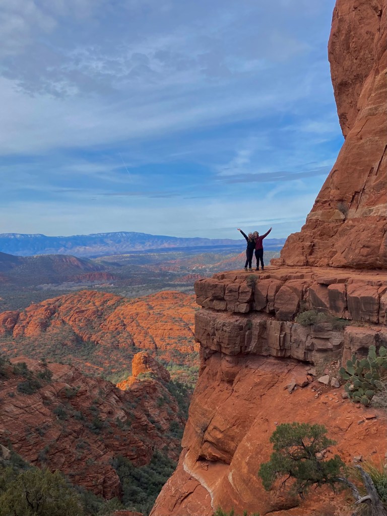
Cathedral Rock

1.5 miles, 700 ft elevation
Cathedral Rock is the most iconic hike in Sedona, and it’s worth navigating the crowds for. This trail has scrambling sections, and we had to routinely wait in line/take turns to pass.
Bell Rock
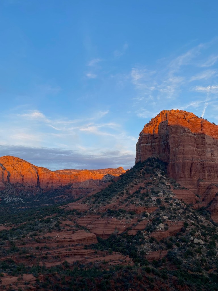
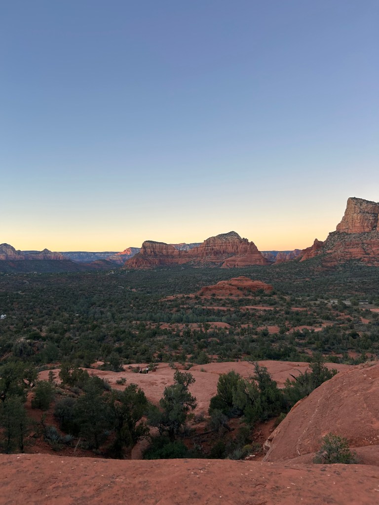
1 mile, 200 ft elevation
This is my favorite sunset spot in Sedona. There are cairns—rock stacks—that mark the best route up Bell Rock, but there’s not an official end point. Just scramble up the rock, and pick a spot to watch the sunset. Despite being highly popular, there’s plenty of space to spread out on the rock.
West Fork of Oak Creek Canyon
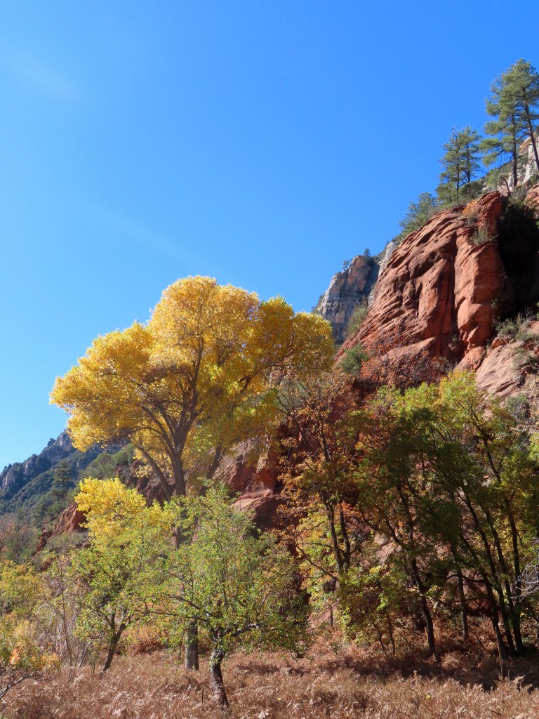

6.5 miles, 500 ft elevation
During fall, this trail becomes Sedona’s most popular hike (though it’s just outside Sedona, technically). It doesn’t have much red rock, but it’s a beautiful river through a narrow canyon. There are many water crossings, but I was able to keep my feet dry by stepping on rocks.
You might enjoy: Where to Find Fall Colors Near Phoenix
Devil’s Bridge


4 miles, 500 ft elevation
Devil’s Bridge is a hike I don’t think I would do again. Unless you have an off-roading vehicle, the first few miles of the hike are spent walking a dirt road without great views. Once you reach the natural bridge, there’s usually a line to take a picture.
Seven Sacred Pools
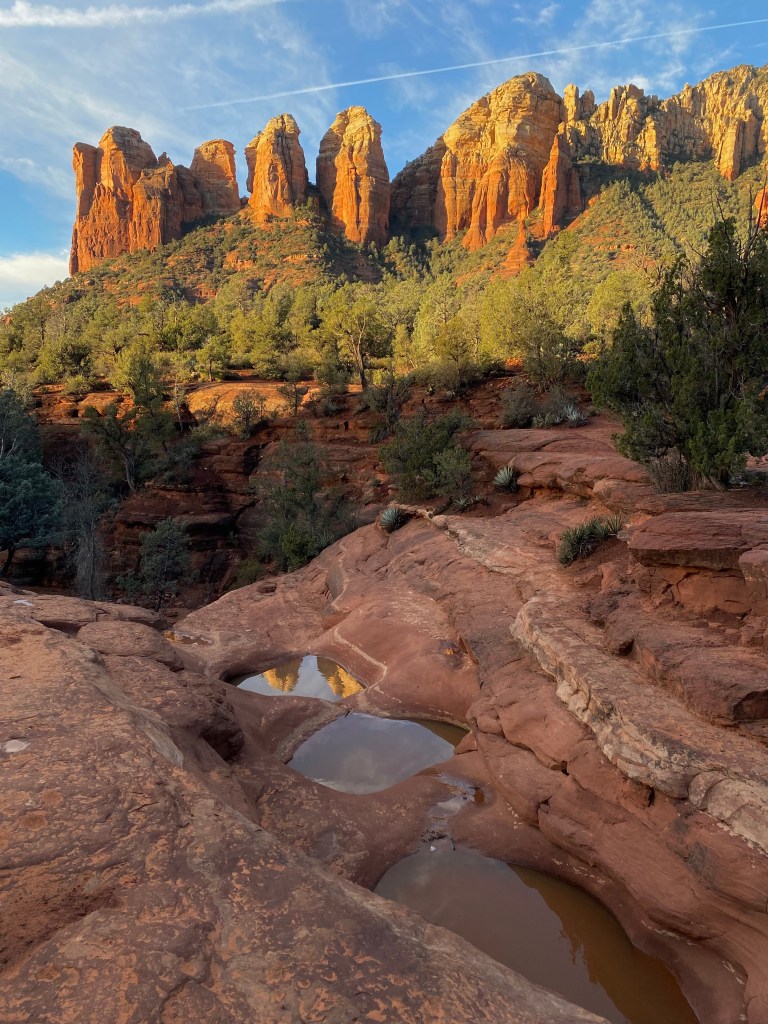

1.5 miles, 100 ft elevation
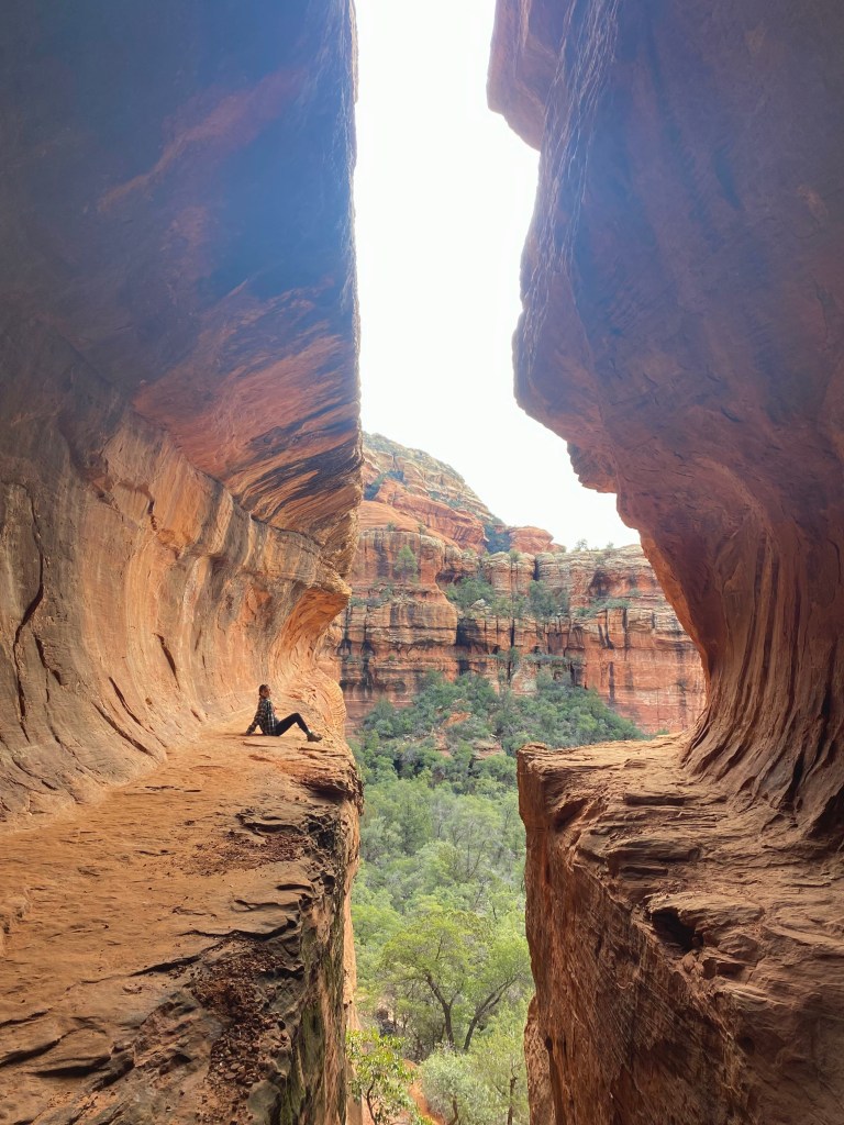
The pools are small, and some AllTrails reviews say “underwhelming.” However, that sunrise photo with the pools is my favorite Sedona photo. The pools are on Soldier Pass trail, which also features a large sinkhole.
I combined the pools with Soldiers Pass Cave for a three-mile roundtrip hike. It’s tricky to climb up into the cave, especially if you’re short. I’m 5’4″ and needed a boost.
Subway Cave
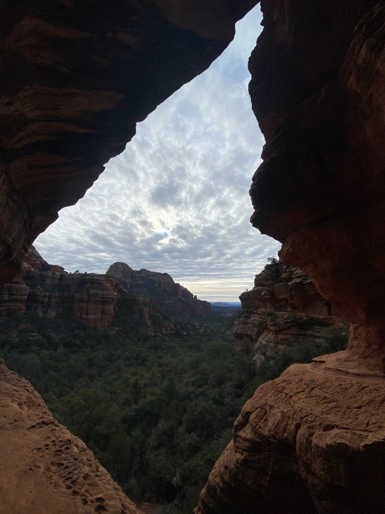
5 miles, 600 ft elevation
This cave was made famous by Instagram, so it’s crowded despite not having a maintained trail. The subway cave is accessed by an unmarked trail off Boynton Canyon, and there’s a steep scramble at the end.
Fay Canyon


2 miles, 100 ft elevation
This trail isn’t too crowded, and it’s an easy stroll through a beautiful canyon. Don’t miss the short side trail to Fay Canyon Arch.
I plan to take many more trips to Sedona, so I will update this list as I do!


Leave a comment