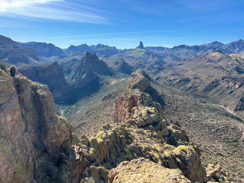
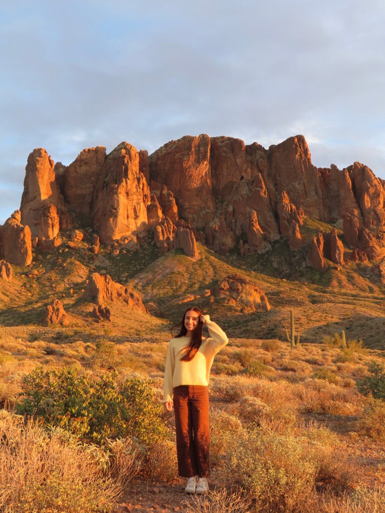
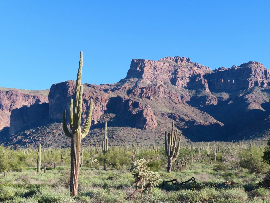
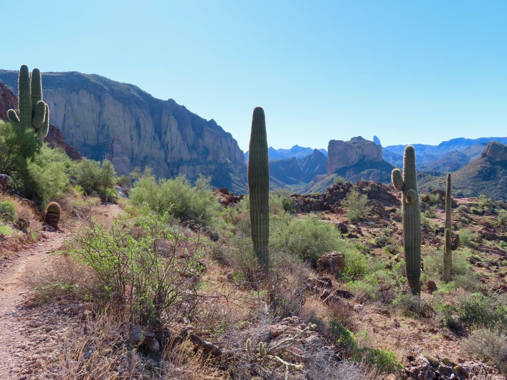
As a Phoenix local, my favorite area to hike is the Superstition Mountains. The Superstitions are about an hour drive east of downtown Phoenix, depending on how deep you go, as the Superstition Wilderness is vast. You’ve probably seen photos of Lost Dutchman State Park, a classic spot for graduation or engagement pictures, but there’s lots more to explore.
Find Lost Dutchman’s iconic sunset photo spot.
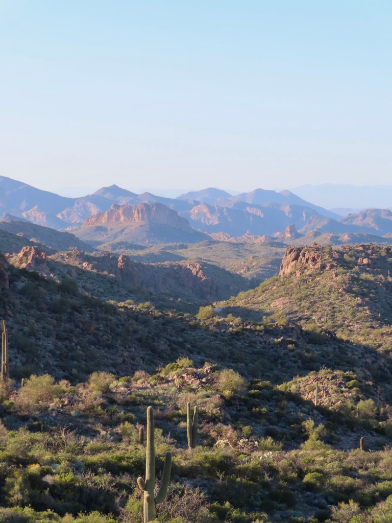
Beware the heat! I usually don’t hike in the Superstitions from May-September, as daily temperatures regularly exceed 100°F / 38°C. (There is sometimes a rare “cool” day.) Check the temperature before you go, and bring plenty of water and electrolytes if you’re hiking.
You likely won’t have cell service on these hikes, so prepare accordingly!
I’ve categorized the hikes as moderate and difficult. I don’t think any hike in the Superstitions is “easy,” as the mountains are very rugged and hot!
Moderate Hikes
These hikes could probably be classified as difficult, especially on a hot day. They’re 3-5 miles roundtrip with some steep sections and almost no shade. The trails are fairly well-maintained, but expect to encounter loose rock.
(Once you see the “difficult” section, you’ll understand why I ranked these as moderate.)
Wave Cave

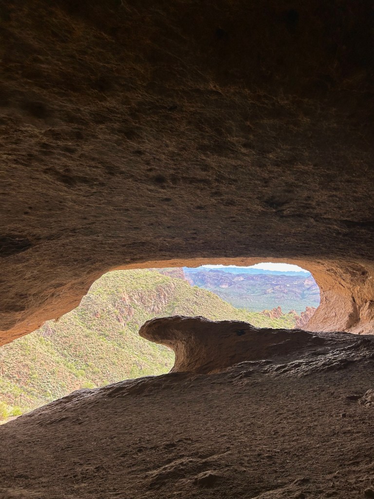
3 miles, 800 ft elevation
What a little gem of a trail! I sat in the back of the cave with a snack, and there was a small window during which I had the cave all to myself on a Saturday. (PLEASE do not sit in the middle of the view!) I combined this hike with Carney Springs Waterfall, as they share a trailhead. The trailhead is down a dirt road, but it’s well-maintained and my low-clearance vehicle made the drive just fine!
Carney Springs Waterfall
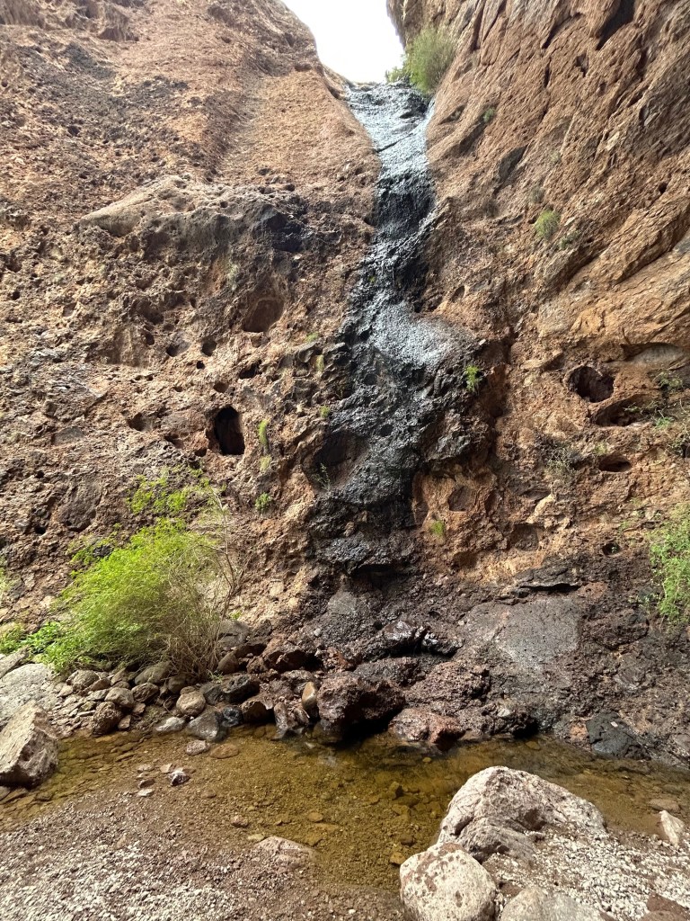

3 miles, 500 ft elevation
The falls can be combined with Wave Cave for around 5 miles roundtrip, as they both branch off the Carney Springs trail. I hiked after rain, so there was a small flow. It was difficult to capture the crevice where the falls is, but it’s such a wonderful spot.
Broadway Cave
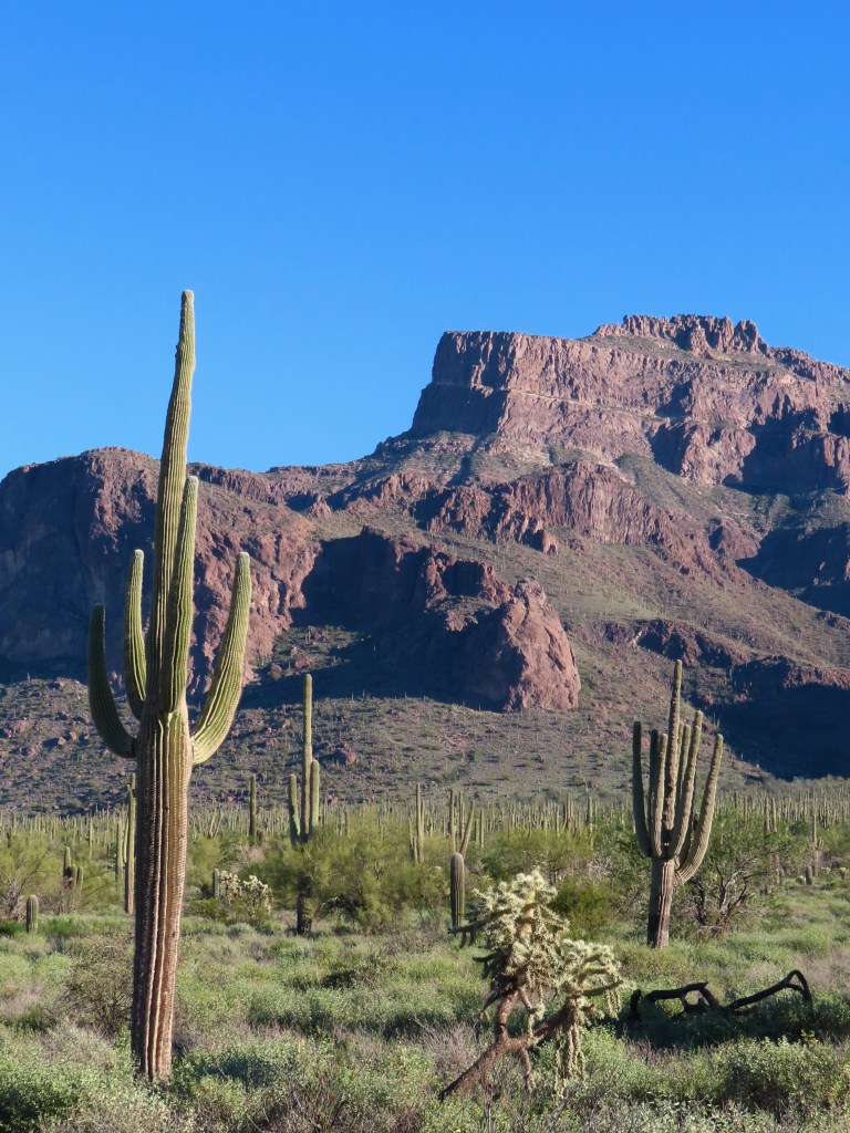
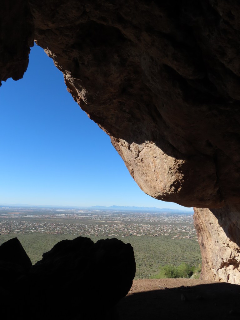
4 miles, 800 ft elevation
Broadway Cave is the trail’s main attraction, but the morning light on the Superstitions was my favorite part. The trail was crowded on a Saturday morning, but I caught a lull between the sunrise and late morning hikers and had the cave all to myself. The Broadway Trailhead parking lot is small, and there were a dozen cars with parking tickets on my return. Pay attention to the parking signs, and don’t park along the curved part of the road immediately surrounding the trailhead parking.
Boulder Canyon Overlook

5 miles, 800 ft elevation
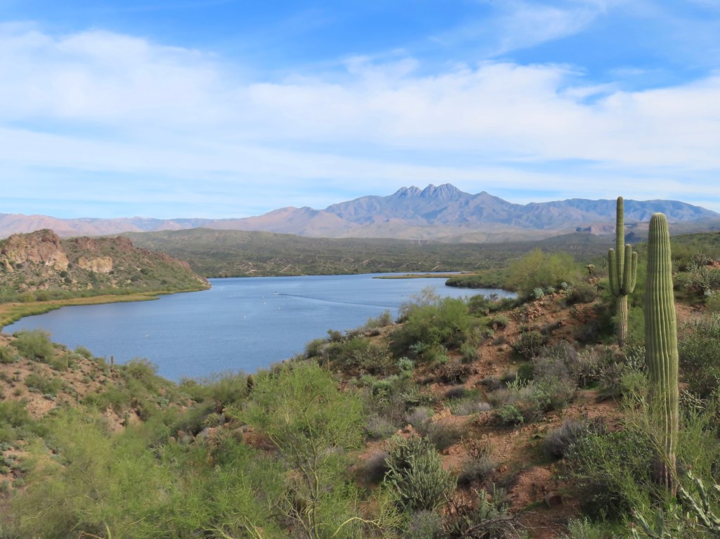
I think this is one of the best views in the Superstitions. The Boulder Canyon trailhead is by Canyon Lake, so it’s the perfect hike to combine with a visit to the lake. To explore deeper into Boulder Canyon, see Boulder Canyon & Lower La Barge Box below.
Peralta Canyon to Fremont Saddle


5 miles, 1300 ft elevation
The view of Weaver’s Needle from Fremont Saddle is fantastic! It’s not visible until you reach the top, so it’s quite the grand reveal. However, there are still plenty of great views overlooking Peralta Canyon on the way up. It has been cloudy every time I’ve hiked this trail, but I highly recommend trying to see Weaver’s Needle at sunrise. This trailhead is further down the dirt road mentioned in Wave Cave/Carney Springs, and it gets rougher toward the end. Take caution in a low clearance vehicle, particularly after rain.
Difficult Hikes
These hikes each make a long, tough day in the desert sun. That’s why they’re my favorite! A view is more rewarding when you work for it, and the post-hike margarita tastes better. (You need the salt for electrolytes!)
Flatiron


5.5 miles, 2600 ft elevation
Flatiron is the most iconic peak in the Superstitions, so the trail stays moderately busy despite being difficult. It’s my idea of a good time—lots of scrambling. For the most part, the scrambling is comparable to Camelback with less exposure, but there’s a small section at the top nicknamed “the wall” that’s slightly more technical.
Boulder Canyon & Lower La Barge Box
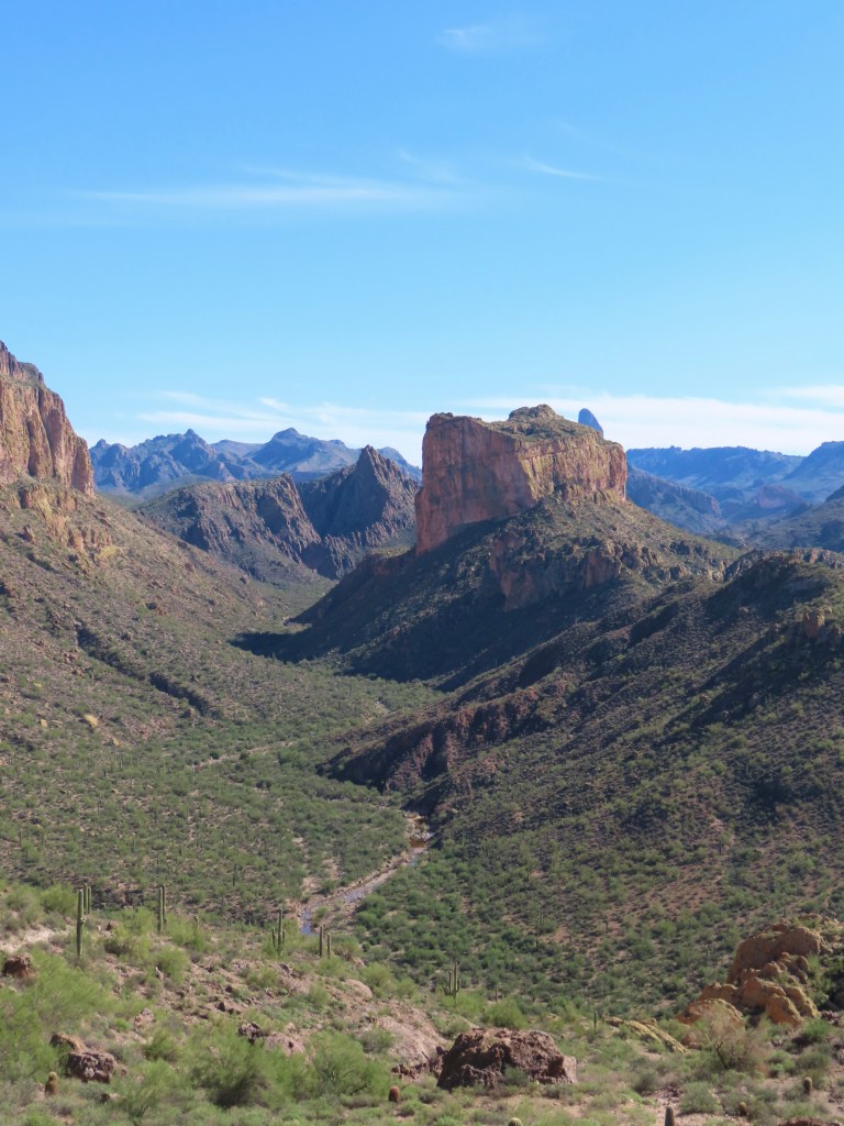
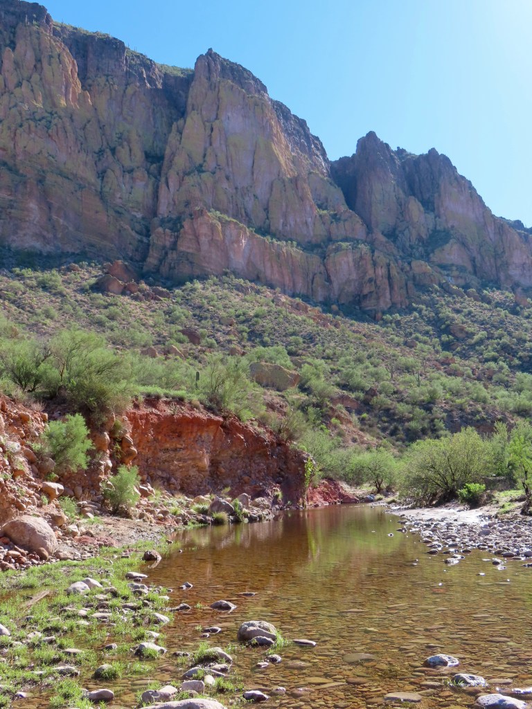
10 miles, 2000 elevation ft gain
This trail was an unexpected favorite! I hiked it after heavy rain, so the lower canyon water level was up to my waist in some spots. (Note: the river is the trail, but it’s usually just a collection of puddles.) I hiked it as a loop around Battleship Mountain, going counter-clockwise to save the river wading for last. The trail is not well-marked around the backside of Battleship, so I recommend downloading a satellite map.
Battleship Mountain
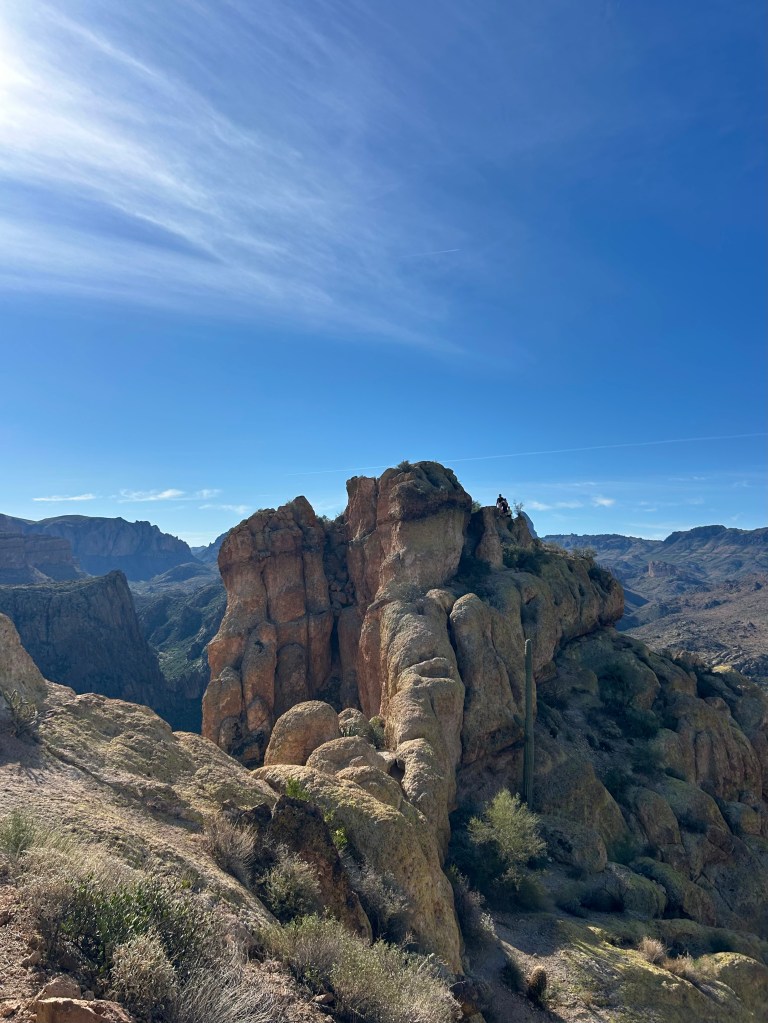
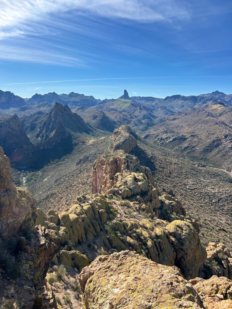
12 miles, 2000 ft elevation
Battleship Mountain scramble is tougher and more exposed than Flatiron, so don’t attempt it until you’ve gotten experience on other scrambling routes! It’s an iconic Superstitions landmark with incredible views, if you’re not afraid of heights.
The easiest approach is from First Water Trailhead, which is unpaved but navigable in most passenger vehicles. If you’re up for a challenge, it can be combined with the Boulder Canyon & Lower La Barge Box Trail above.
Black Mesa Loop
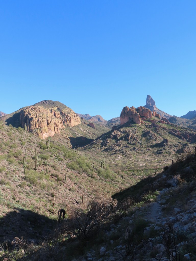
9 miles, 1000 ft elevation
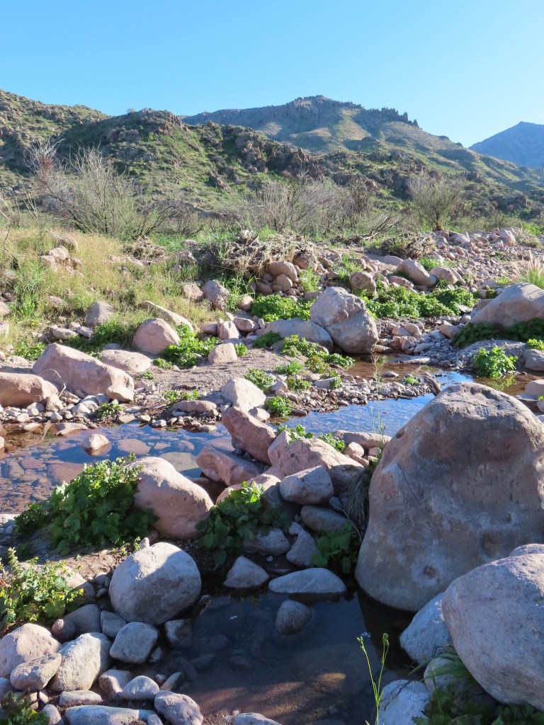
This is a quiet, remote trail with great views of Weaver’s Needle. There are beautiful views in every direction, so I don’t think it matters which way you hike the loop. Black Mesa Loop connects Dutchman and Second Water trails; one of the junctions is not well-marked, so a satellite map is useful. The trailhead is at the end of dirt road that’s navigable in most passenger vehicles. My Toyota Camry bottomed out a couple times, but it was not the only Camry at the trailhead.
It’s May as I write this, so the Superstitions hiking season is coming to an end. Check back in fall, as I’m sure I will find more hikes to add!


Leave a Reply