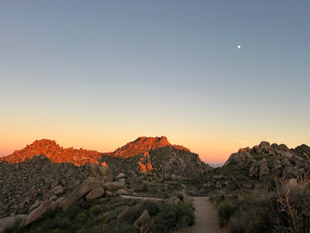
Don’t miss these trails on a visit to Phoenix or Scottsdale, Arizona! I wrote this guide for tourists—not because I’m gatekeeping local spots—but because tourists and locals have different interests. Travelers have limited time and are looking to maximize their trip with the best views and iconic desert scenery. These hikes are some of the best the valley has to offer!
Locals can enjoy these places, too! Be a tourist in your own city. I always have fun taking visitors to these places when I have friends or family in town.
Hiking in the Desert: If you’re planning a summer trip to Phoenix or Scottsdale, don’t! From June to August, almost every day reaches 100°F / 38°C. Since some of you will ignore my warnings and hike during summer anyway, at least do it educated! Read my guide to Summer Hiking in Arizona.
Camelback Mountain

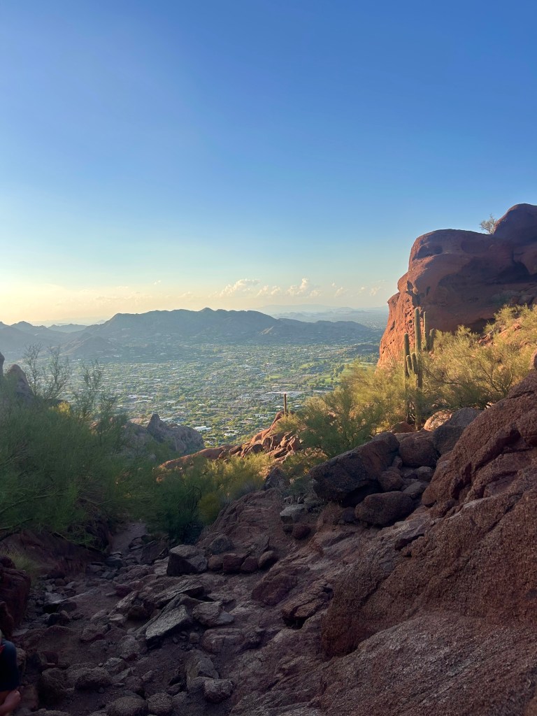
Via Cholla Trail: 3 miles, 1300 ft elevation
Via Echo Canyon Trail: 2.5 miles, 1500 ft elevation
Camelback Mountain is the most popular hike in the valley, and it truly deserves the hype! There are two trails to the summit. Echo Canyon has lots of red rock, and Cholla Trail has a beautiful ridgeline scramble. No matter which one you choose, the views of the valley are incredible!
Camelback is a real mountain with a very steep, rocky trail, and the desert heat makes it even tougher. Don’t underestimate it! There are frequent helicopter rescues due to injuries and heatstroke.
North Mountain


1.5 miles, 700 ft elevation
One of my favorite experiences in Phoenix is watching the city lights after dark from North Mountain. The hike is significantly easier than Camelback, but it’s still very steep. North Mountain Preserve parking entrances close at 7 p.m. (9 p.m. during summer), but the preserve is open until 11 p.m.
For a quieter option, hike North Mountain’s less popular neighbor: Shaw Butte.
Lost Dutchman State Park
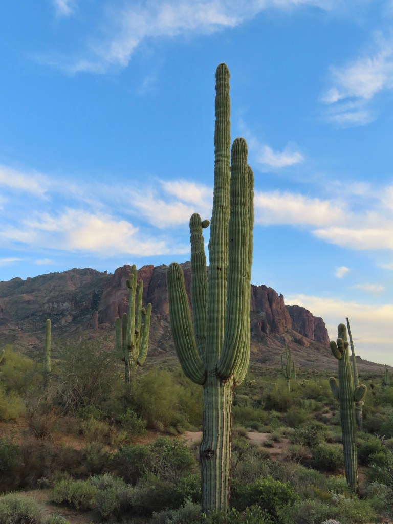
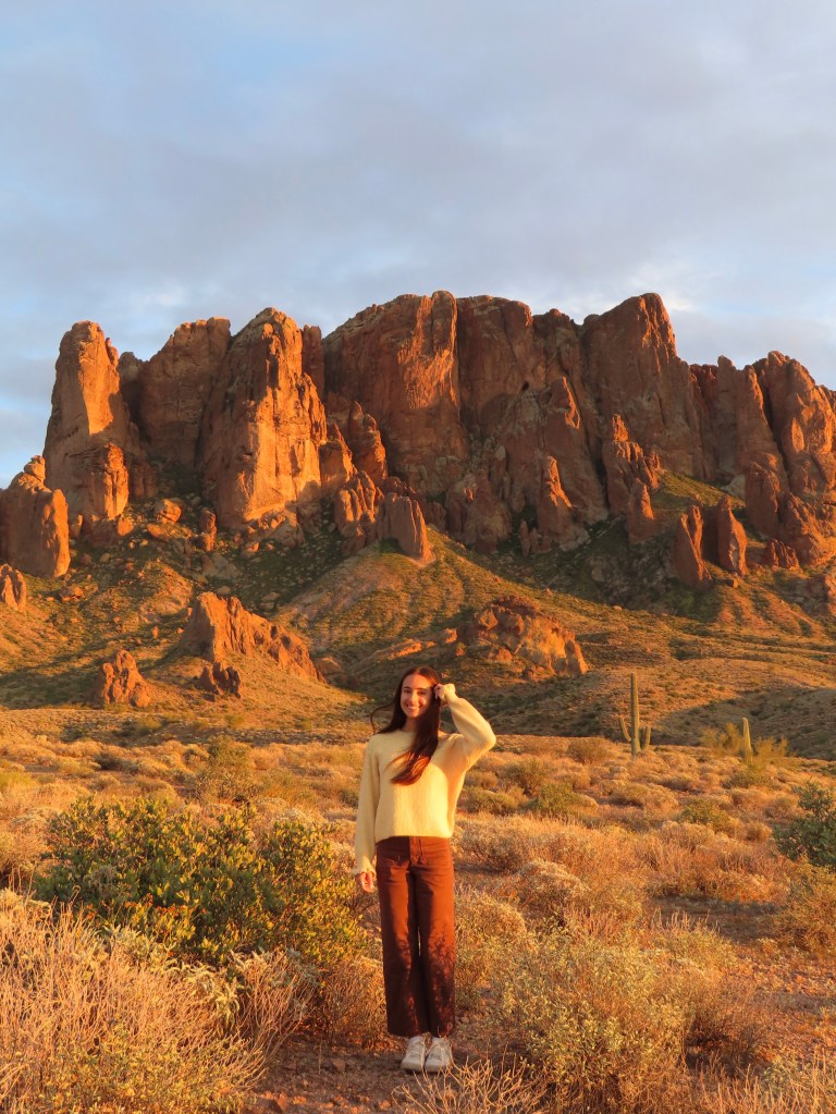
Lost Dutchman State Park is iconic; you can’t miss it! There are many great hiking trails to choose from, or you could be perfectly satisfied viewing the beautiful Superstition Mountains from the parking lot.
This is the best sunset spot near Phoenix, and you’ll probably run into lots of photographers. My photos were actually taken just outside the state park—details and directions here!
Usery Mountain Regional Park
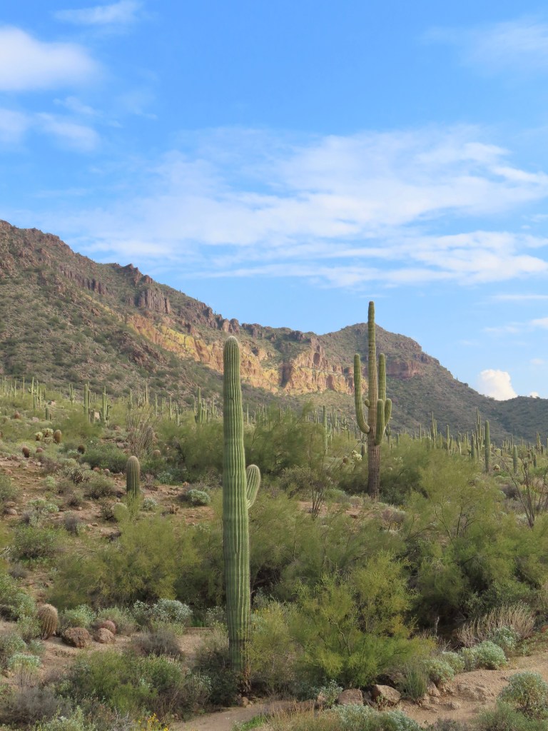
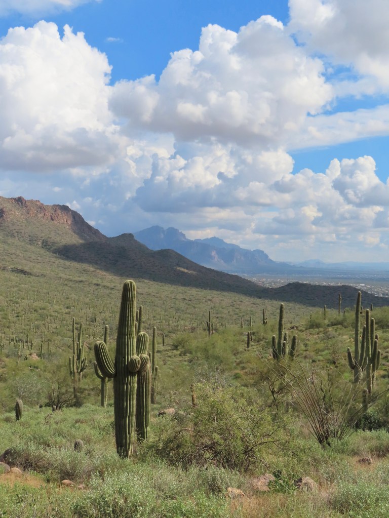
To experience a “real” Sonoran Desert landscape without driving too far out of the city, visit Usery Mountain Regional Park in Mesa. There are lots of desert plants, and they get super green after a good rainy season. When my friends want to see saguaro cacti, this is where I take them.
You can appreciate the park with a casual stroll from the parking lot, so I don’t think visitors need to dedicate their time to a hike here. However, there are some great trails for locals who have the time!
Tom’s Thumb

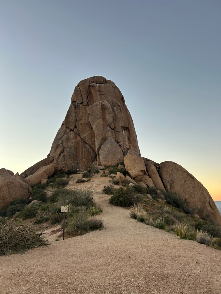
4 miles, 1200 ft elevation
Tom’s Thumb was the first hike I took my mom on when she visited. The trail is well-maintained and beautiful. The boulder landscape atop the ridge is unique to this area and glows red at sunset. It reminds me of Joshua Tree National Park.
If you’re hiking at sunset, note that the trail closes at sundown! They usually give a little grace period for hikers to exit safely, but the posted signs say you’re trespassing.
Pinnacle Peak
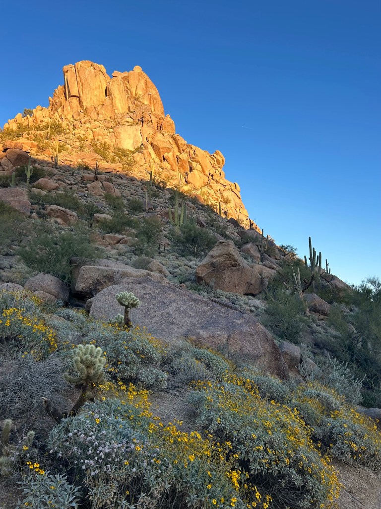
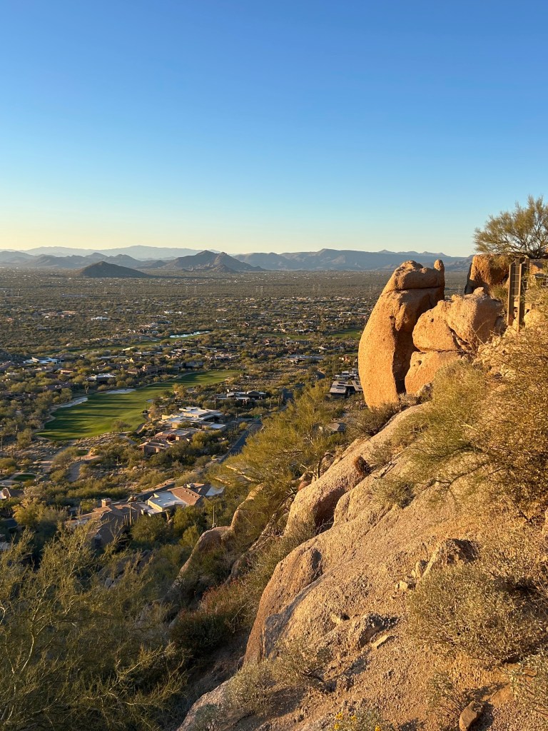
4 miles, 1000 ft elevation
Pinnacle Peak Trail is maintained as pristinely as the North Scottsdale golf courses it overlooks. It doesn’t have a rugged or remote feel, but it’s still a lovely slice of nature, especially with the golden evening sun hitting the rocks. The high point is in the middle of the trail, so you may want to turn back before descending the switchbacks for a 3-mile roundtrip.
Butcher Jones
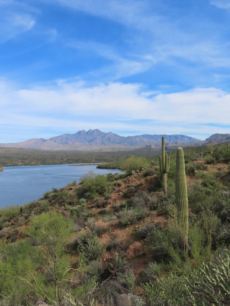

6 miles, 600 ft elevation
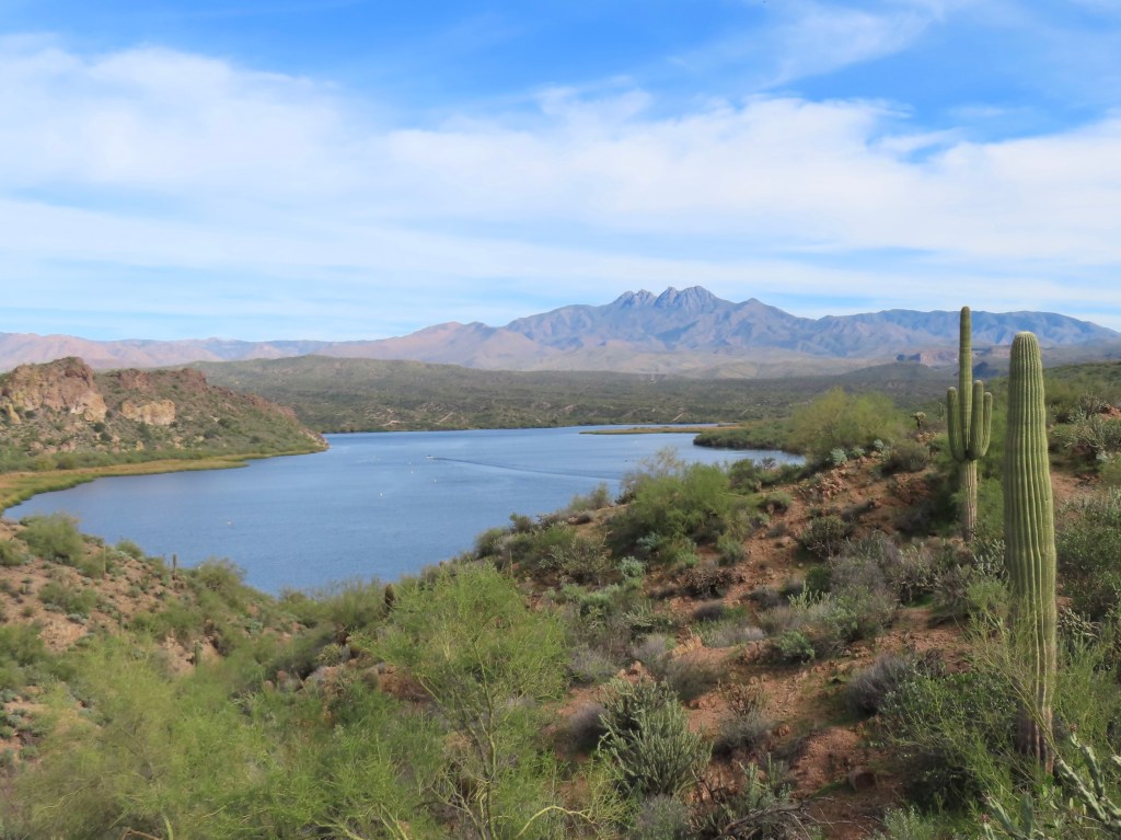
You might be surprised to learn that Phoenix is in the Salt River Valley—there’s water in the desert! Saguaro Lake on the Salt River is just a 45-minute drive east of Scottsdale. There’s a beach and a beautiful hiking trail here at Butcher Jones Recreation Area. The trail splits off to two equally lovely end points: Butcher Jones viewpoint and a trail down to the shoreline. My distance tracked includes both!
Broadway Cave
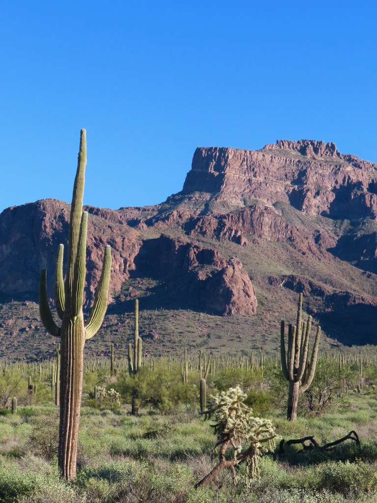
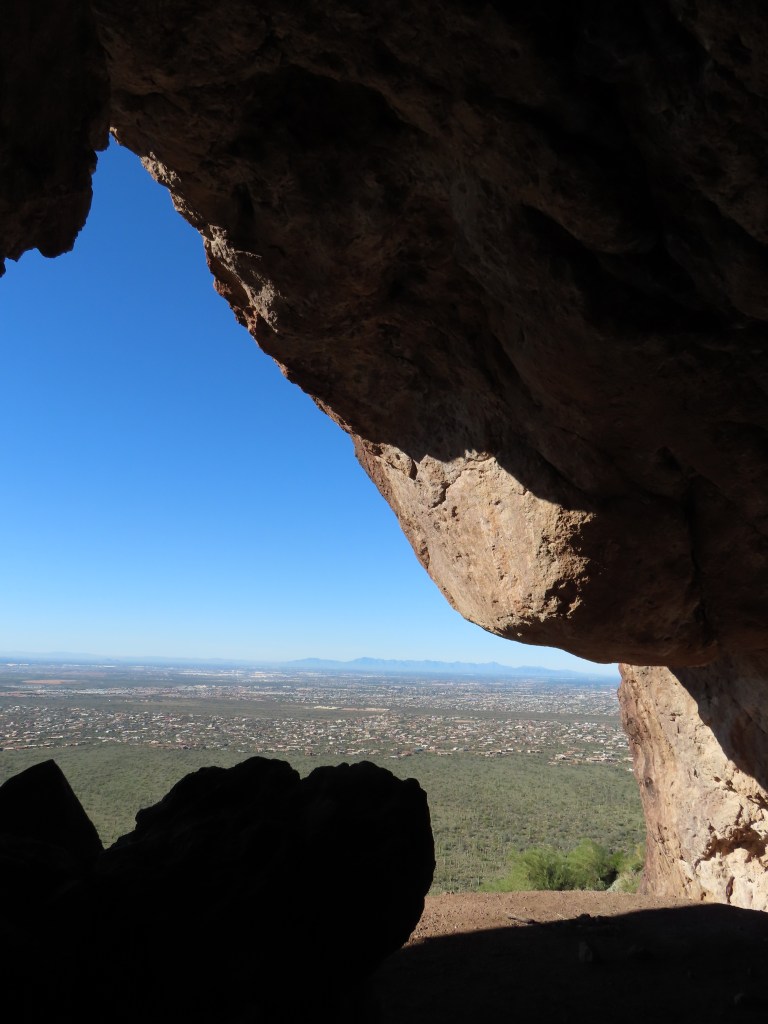
4 miles, 800 ft elevation
This trail has lots of saguaros, great views of the Superstitions, and ends at a cave on the side of a mountain. In just four miles, you get a taste of everything the desert has to offer.
The Broadway Trailhead parking lot is small, and I saw a dozen cars with parking tickets. Pay attention to the parking signs, and don’t park along the curved part of the road immediately surrounding the trailhead parking.
The Sonoran Desert is a special place. Please respect the locals and our trails. Hike responsibly, and leave no trace!


Leave a Reply